

Field guide
Monday, October 26, 2026
Forbidden Drive in fall - a walk down the Wissahickon to Valley Green
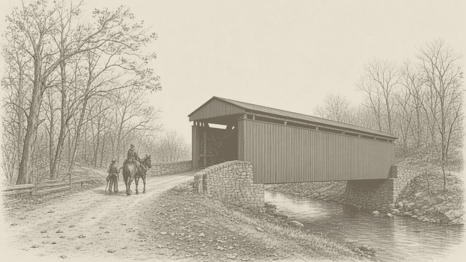
Every fall I tell myself I'll catch the Wissahickon at its best, and every year I almost miss it. Late October into the first week of November is the window I aim for.
Every fall I tell myself I'll catch the Wissahickon at its best, and every year I almost miss it. Late October into the first week of November is the window I aim for. The leaves start piling up on Forbidden Drive, and the gravel is usually still dry enough that you come home without mud up your shins.
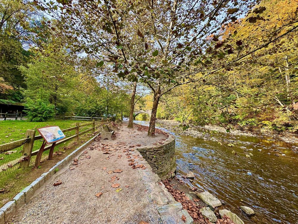
If you've never done it, this is the walk to start with. Forbidden Drive is the wide gravel road that follows Wissahickon Creek through Wissahickon Valley Park. It's flat and gentle, so it works for strollers and for anyone who doesn't want to think about their footing.

What you're walking on
Wissahickon Valley Park is about 2,000 acres of creek valley in Northwest Philly, with Roxborough and Andorra on the west bank and Chestnut Hill and Mount Airy up the east side. Friends of the Wissahickon, the nonprofit that cares for the park with Philadelphia Parks & Recreation, counts more than 50 miles of trails in there.
Forbidden Drive is the spine of the whole park. It runs about five miles along the creek, from Northwestern Avenue at the city line down toward Lincoln Drive and Ridge Avenue. In 2018 the state Department of Conservation and Natural Resources named it Pennsylvania's Trail of the Year.
Why they call it Forbidden
The Drive started out as a road for hauling goods. Mills lined the Wissahickon in the 1800s, and a private toll road called the Wissahickon Turnpike carried wagons in and out of the valley. State laws in 1867 and 1868 let the new Fairmount Park Commission take land along the creek to protect the city's water supply. The city bought the turnpike and dropped the tolls. As the mills came down over the next few decades, the valley slowly turned into a place people went for the woods.
Cars were the next fight on the Drive. When park leaders floated opening the road to automobiles, neighbors and riders pushed back. In 1921 hundreds of horseback riders and carriage drivers paraded down it in protest. The plan was dropped, and people started calling the road Forbidden Drive. That ride still gets remembered every spring with the Wissahickon Day Parade, a procession of horses and carriages down the same gravel.
So when you walk five miles of the Wissahickon without hearing an engine, thank the riders who wouldn't budge 105 years ago.
The walk, top to bottom
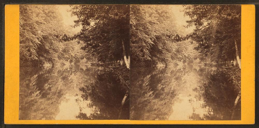
I like to start at the north end and walk downstream with the creek.
The top of Forbidden Drive is by Northwestern Stables, 120 W. Northwestern Ave, on the Chestnut Hill side. Parking up here is mostly on the street. The Andorra lot off Northwestern and Henry avenues is a quieter backup that FOW likes to call one of the park's best-kept secrets.
Head downstream and you'll reach Bells Mill Road, the busiest entrance on the Drive, with parking lots on both sides of the creek. If Northwestern is packed, start here instead.
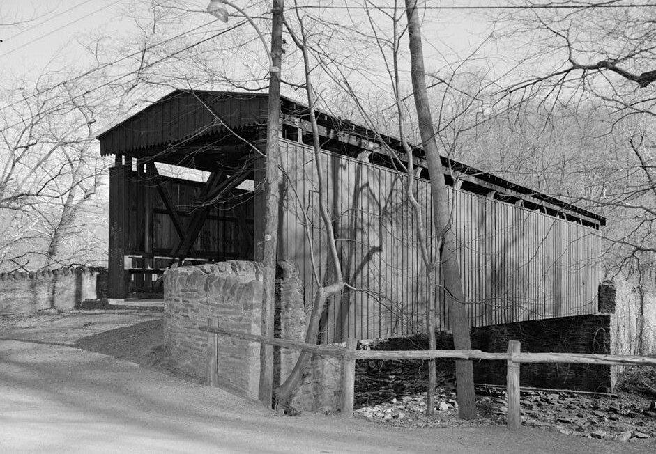
Below Bells Mill, keep an eye out for the red covered bridge at Thomas Mill Road. The Thomas Mill Covered Bridge went up in 1855 and is on the National Register of Historic Places. It's open to people on foot and on bikes, so walk through it and look back upstream. With the trees turning, it's the spot where I always end up stopping for a picture.
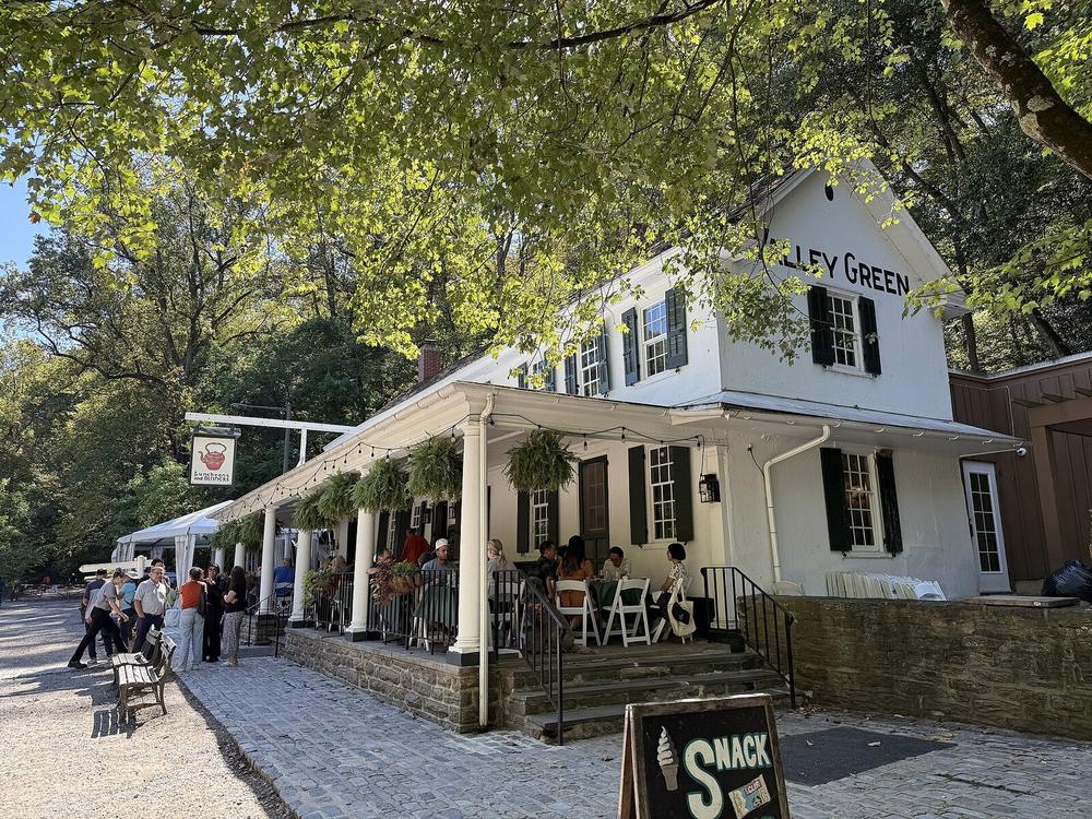
About halfway down the park you reach Valley Green. The white building by the stone bridge is the Valley Green Inn, an old Wissahickon roadhouse from the 1800s. Friends of the Wissahickon looks after the building, and it runs as a restaurant. Check its hours before you count on lunch. Valley Green is also where a lot of people park, using the lots off Valley Green Road and Wises Mill Road, and FOW warns those fill fast on nice days.

If you've still got legs, keep going south. Across the creek you'll spot Glen Fern, the old stone Livezey house. Forbidden Drive meets the paved Wissahickon trail near the bottom, and that connects to the Ridge Avenue trailhead at 4901 Ridge Ave.
How long it takes
I didn't time it, so treat this as my guess. Walking from Northwestern Avenue to Valley Green and back at an easy pace with stops is a solid morning. Doing the whole Drive one way and catching a bus home from Ridge Avenue is closer to a half day. FOW's maps page links each trail to a planner with distance and elevation if you want exact numbers.
Sharing the Drive
Forbidden Drive is shared by walkers, runners, bikes and horses, and FOW says more than a million people use it a year. The rule FOW posts is simple. Everybody yields to horses, and bikes yield to people on foot. Give the horses room and a calm "hello" so they know you're there, and keep your dog close.
This week on the Drive
Friends of the Wissahickon runs guided hikes almost every week, and a few land right in our window. "The Wissahickon in October" is Friday, Oct 30, from 9am to noon. "Discover the Wissahickon: Spooky Wissahickon Walk" is Saturday, Oct 31, from 10am to 12:30pm. "Discover the Wissahickon: Valley Green Hike" is Sunday, Nov 8, from 9am to noon. Sign-up details and meeting spots are on FOW's activities page.
Getting there and the practical stuff
- Bus: FOW lists the 27 on Henry Avenue through Roxborough, the 97 in Chestnut Hill, the 23 on Germantown Avenue and the 65 on Walnut Lane. The Wissahickon Transit Center at 4900 Ridge Ave has several more lines and sits right across from the Ridge Avenue trailhead. Bus stops can be a hike from the trailheads, so plan for that.
- Train: FOW says most Chestnut Hill West stations get you to the park, and Wissahickon Station on the Manayunk/Norristown Line works for the Ridge Avenue end.
- Car: Don't park on Livezey Lane or Kitchen's Lane. FOW says those are the only emergency access routes to those parts of the park.
- Phone: Cell service is spotty once you're away from the main entrances, so pick your pickup spot before you go.
- Restrooms: I didn't find a restroom list on FOW's pages, so plan ahead.
- Leave no trace: Carry out what you carry in. FOW's volunteers are the ones picking it up otherwise.
The short version
Forbidden Drive is about five miles of flat gravel along Wissahickon Creek, kept car-free since riders protested in 1921. In late fall, walk it downstream from Northwestern Avenue past the 1855 Thomas Mill Covered Bridge and turn around at the Valley Green Inn. If you've got more in you, keep going to Ridge Avenue and bus home. Yield to the horses.